
The Dr. James E. Key & Mrs. Betty W. Key Map Room is a dedicated gallery space inside the Houston Metropolitan Research Center, for the display of maps about Houston and beyond. The Houston Public Library’s Houston Metropolitan Research Center is a renowned repository of local history and maps dating back to 1837 and recently received a gift an antique map collection from Dr. and Mrs. Key.
The Houston Metropolitan Research Center
Houston Metropolitan Research Center Special concentrations include over four million photographic images. Primarily from the 1860s to the 1980s, the images highlight day-to-day activities in Houston and Texas. There are over 2000 maps within the Houston Metropolitan Research Center collections, received through individual donations, as a part of other archival collections, and by way of the state document depository program. The majority of the maps are of Texas cities, towns, and roads.
Architectural collections reflect a range of the region’s architectural history. Hispanic collections represent the contributions and experiences of Houston’s Hispanic community throughout the 20th century. The HMRC Oral History Collection is composed of in-depth interviews and memory projects of community members, artists, musicians, civil rights activists, politicians, and civic leaders who defined the growth and history of the city.
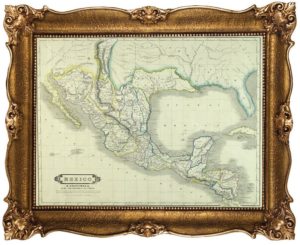
The Texas and Local History Collection contains over 14,000 books related to Texana and regional history. The collection includes maps of Houston dating back to 1837:
- The Heights and Harrisburg,
- Sanborn fire insurance maps,
- Bracey’s block maps,
- Topographic maps of many Texas cities, and
• Aerial photos of Houston from 1935-1990